Looking south along Browney Lane
Introduction
The photograph on this page of Looking south along Browney Lane by Robert Graham as part of the Geograph project.
The Geograph project started in 2005 with the aim of publishing, organising and preserving representative images for every square kilometre of Great Britain, Ireland and the Isle of Man.

There are currently over 7.5m images from over 14,400 individuals and you can help contribute to the project by visiting https://www.geograph.org.uk
Looking south along Browney Lane
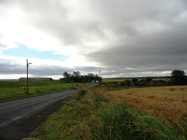
Image: © Robert Graham Taken: 24 Jul 2012
Just south of Meadowfield, Brandon. Ash Tree Farm just down the road.
Images are licensed for reuse under creativecommons.org/licenses/by-sa/2.0
Image Location
Latitude
54.74265
Longitude
-1.613818