Denman Street Central
Introduction
The photograph on this page of Denman Street Central by John Sutton as part of the Geograph project.
The Geograph project started in 2005 with the aim of publishing, organising and preserving representative images for every square kilometre of Great Britain, Ireland and the Isle of Man.

There are currently over 7.5m images from over 14,400 individuals and you can help contribute to the project by visiting https://www.geograph.org.uk
Denman Street Central
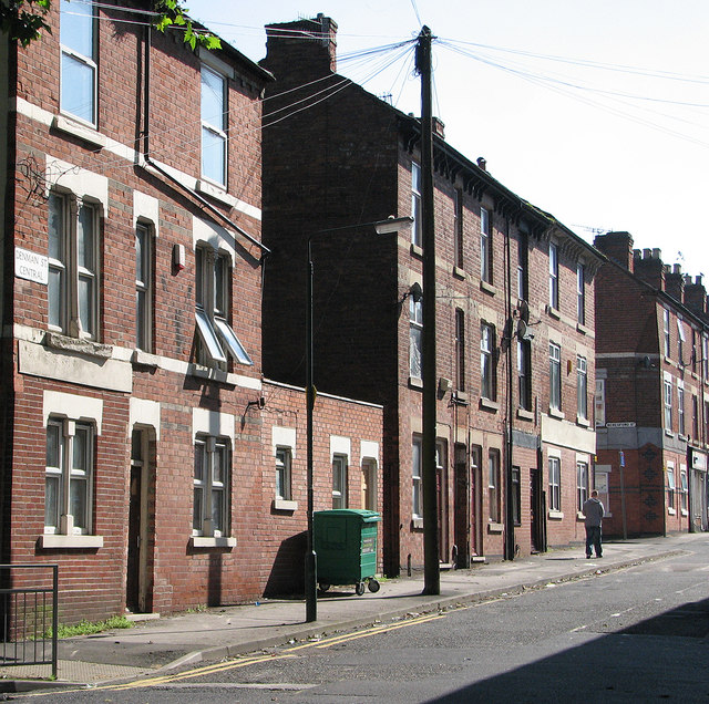
Image: © John Sutton Taken: 21 Jul 2012
Until the clearance schemes of the late 1960s, Denman Street ran almost the whole length of Radford, from St Peter's Street in the west uphill almost to Canning Circus. It has now been truncated and partly pedestrianised. When I was growing up in these parts in the 1950s, Denman Street was quite a shopping centre. Three-storey houses and shops were a Nottingham speciality in the late Victorian period.
Images are licensed for reuse under creativecommons.org/licenses/by-sa/2.0
Image Location
Latitude
52.957753
Longitude
-1.175721