Crossroads on the outskirts of Codsall Wood
Introduction
The photograph on this page of Crossroads on the outskirts of Codsall Wood by Mick Malpass as part of the Geograph project.
The Geograph project started in 2005 with the aim of publishing, organising and preserving representative images for every square kilometre of Great Britain, Ireland and the Isle of Man.

There are currently over 7.5m images from over 14,400 individuals and you can help contribute to the project by visiting https://www.geograph.org.uk
Crossroads on the outskirts of Codsall Wood
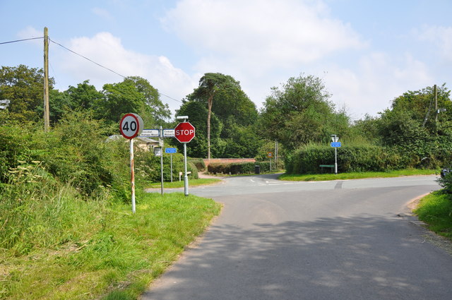
Image: © Mick Malpass Taken: 25 Jul 2012
The road crossing the photo is Monarch's Way. This is reputed to be one of the roads King Charles II used on his way to Boscobel House after his defeat at Worcester.
Images are licensed for reuse under creativecommons.org/licenses/by-sa/2.0
Image Location


Leaflet Map data © OpenStreetMap
Latitude
52.644767
Longitude
-2.22889