Clayton Brook Housing Estate
Introduction
The photograph on this page of Clayton Brook Housing Estate by Raymond Knapman as part of the Geograph project.
The Geograph project started in 2005 with the aim of publishing, organising and preserving representative images for every square kilometre of Great Britain, Ireland and the Isle of Man.

There are currently over 7.5m images from over 14,400 individuals and you can help contribute to the project by visiting https://www.geograph.org.uk
Clayton Brook Housing Estate
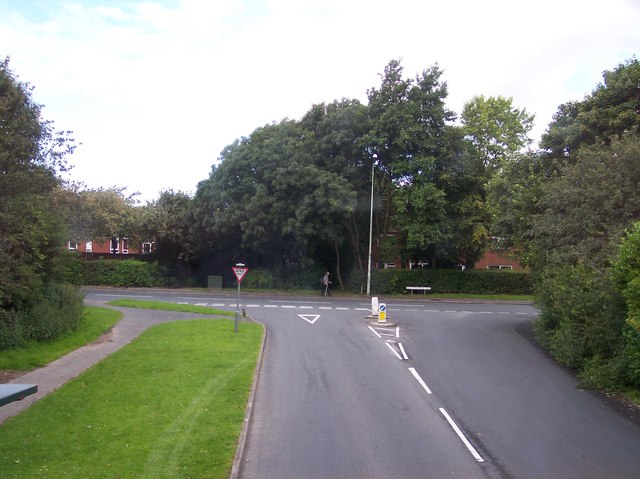
Image: © Raymond Knapman Taken: 2 Aug 2012
Great Greens Lane joins Clayton Brook Road
Images are licensed for reuse under creativecommons.org/licenses/by-sa/2.0
Image Location
Latitude
53.71412
Longitude
-2.640878