Pennyburn Estuary
Introduction
The photograph on this page of Pennyburn Estuary by Kenneth Allen as part of the Geograph project.
The Geograph project started in 2005 with the aim of publishing, organising and preserving representative images for every square kilometre of Great Britain, Ireland and the Isle of Man.

There are currently over 7.5m images from over 14,400 individuals and you can help contribute to the project by visiting https://www.geograph.org.uk
Pennyburn Estuary
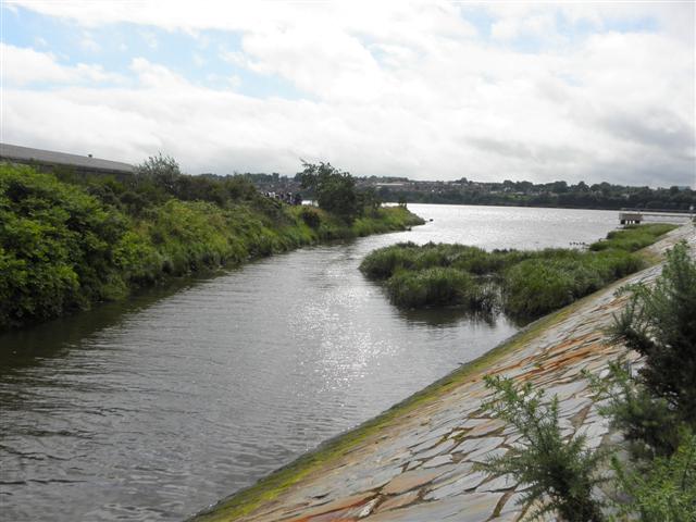
Image: © Kenneth Allen Taken: 1 Aug 2012
The point where the small river enters the Foyle Estuary - it is a favourite spot for bird watchers Image]
Images are licensed for reuse under creativecommons.org/licenses/by-sa/2.0
Image Location
Latitude
55.012994
Longitude
-7.31236