Blue Bell Hill Village sign and disused pub
Introduction
The photograph on this page of Blue Bell Hill Village sign and disused pub by Marathon as part of the Geograph project.
The Geograph project started in 2005 with the aim of publishing, organising and preserving representative images for every square kilometre of Great Britain, Ireland and the Isle of Man.

There are currently over 7.5m images from over 14,400 individuals and you can help contribute to the project by visiting https://www.geograph.org.uk
Blue Bell Hill Village sign and disused pub
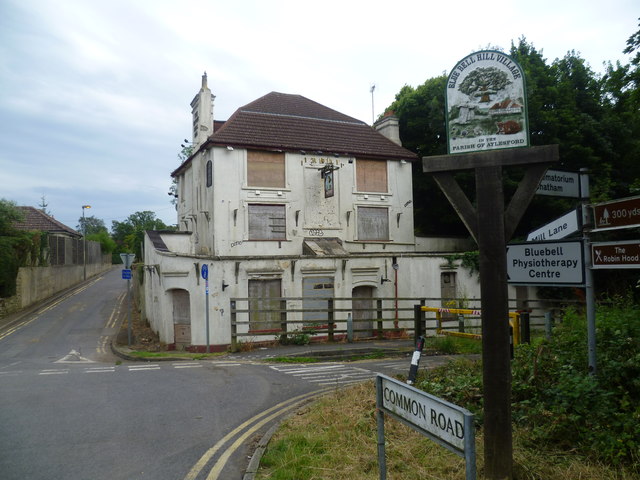
Image: © Marathon Taken: 1 Aug 2012
The Blue Bell Hill Village sign looks well cared for but sadly that is not the case for The Upper Bell Inn just beyond. It was probably built when it was on the main road between Chatham and Maidstone known as Blue Bell Hill which passed to the left and right in front of the pub. Now the road to the right has been closed off and the very busy and noisy A229 passes underneath Common Road just behind where I am standing. As at 2014 it has now been demolished.
Images are licensed for reuse under creativecommons.org/licenses/by-sa/2.0
Image Location
Latitude
51.33092
Longitude
0.504841