Former Stag Inn
Introduction
The photograph on this page of Former Stag Inn by Robert Graham as part of the Geograph project.
The Geograph project started in 2005 with the aim of publishing, organising and preserving representative images for every square kilometre of Great Britain, Ireland and the Isle of Man.

There are currently over 7.5m images from over 14,400 individuals and you can help contribute to the project by visiting https://www.geograph.org.uk
Former Stag Inn
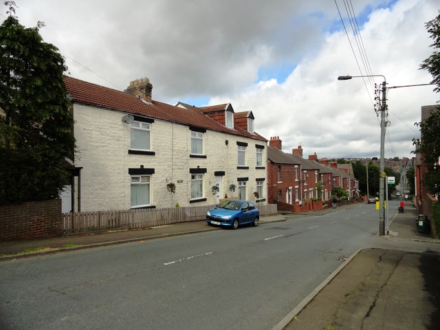
Image: © Robert Graham Taken: 18 Jul 2012
This is the second of the pubs on Park Road at Quaking Houses. They are both now private houses, there is no pub in the village currently.
Images are licensed for reuse under creativecommons.org/licenses/by-sa/2.0
Image Location
Latitude
54.853975
Longitude
-1.703563