Newent Centre, Newent
Introduction
The photograph on this page of Newent Centre, Newent by Jaggery as part of the Geograph project.
The Geograph project started in 2005 with the aim of publishing, organising and preserving representative images for every square kilometre of Great Britain, Ireland and the Isle of Man.

There are currently over 7.5m images from over 14,400 individuals and you can help contribute to the project by visiting https://www.geograph.org.uk
Newent Centre, Newent
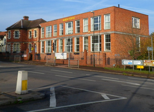
Image: © Jaggery Taken: 13 Nov 2011
Viewed from the corner of High Street. The building, located on Ross Road (B4221) is a former workhouse, later occupied by the County High School (Newent Grammar School). It is now a youth and community centre.
Images are licensed for reuse under creativecommons.org/licenses/by-sa/2.0
Image Location
Latitude
51.93378
Longitude
-2.408513