Burham village sign
Introduction
The photograph on this page of Burham village sign by Marathon as part of the Geograph project.
The Geograph project started in 2005 with the aim of publishing, organising and preserving representative images for every square kilometre of Great Britain, Ireland and the Isle of Man.

There are currently over 7.5m images from over 14,400 individuals and you can help contribute to the project by visiting https://www.geograph.org.uk
Burham village sign
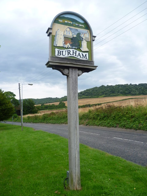
Image: © Marathon Taken: 1 Aug 2012
Prominent on the Burham village sign next to Rochester Road at the southern entrance to the village is Burham Old Church which is some way from the village, down by the River Medway - see http://www.geograph.org.uk/photo/3050156 Also prominent are the North Downs which can be seen beyond the sign here.
Images are licensed for reuse under creativecommons.org/licenses/by-sa/2.0
Image Location
Latitude
51.327294
Longitude
0.48512