
By the trig point, Trotton Common
Introduction
The photograph on this page of By the trig point, Trotton Common by Robin Webster as part of the Geograph project.
The Geograph project started in 2005 with the aim of publishing, organising and preserving representative images for every square kilometre of Great Britain, Ireland and the Isle of Man.

There are currently over 7.5m images from over 14,400 individuals and you can help contribute to the project by visiting https://www.geograph.org.uk
By the trig point, Trotton Common
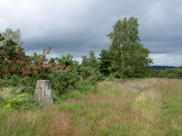
Image: © Robin Webster Taken: 31 Jul 2012
The pillar is at SU8447322122 officially. My aging Garmin GPS placed on top displayed SU8447422129, but when the location as a latitude and longitude is accurately converted gives SU8447122123. This shows the inaccuracy of the Garmin OSGB conversion, which is out by quite a lot, particularly on the northing, in this area of England. It also shows that the claimed accuracy of the unit, 2 m at the time, is substantiated if the basic latitude and longitude is used and the error conventionally rounded.
Images are licensed for reuse under creativecommons.org/licenses/by-sa/2.0
Image Location

Latitude
50.992379
Longitude
-0.79779