Minor Road to Baunton
Introduction
The photograph on this page of Minor Road to Baunton by Nigel Mykura as part of the Geograph project.
The Geograph project started in 2005 with the aim of publishing, organising and preserving representative images for every square kilometre of Great Britain, Ireland and the Isle of Man.

There are currently over 7.5m images from over 14,400 individuals and you can help contribute to the project by visiting https://www.geograph.org.uk
Minor Road to Baunton
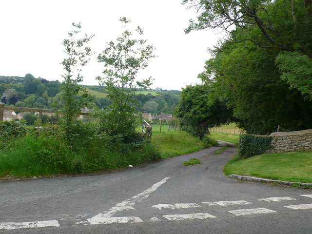
Image: © Nigel Mykura Taken: 8 Jul 2012
This small gated road runs down the steep hill to the village from White Way which is the road that can be seen in the foreground. The village can be seen in the distance.
Images are licensed for reuse under creativecommons.org/licenses/by-sa/2.0
Image Location
Latitude
51.738661
Longitude
-1.963748