All Saints' Church, Yafforth
Introduction
The photograph on this page of All Saints' Church, Yafforth by Mick Garratt as part of the Geograph project.
The Geograph project started in 2005 with the aim of publishing, organising and preserving representative images for every square kilometre of Great Britain, Ireland and the Isle of Man.

There are currently over 7.5m images from over 14,400 individuals and you can help contribute to the project by visiting https://www.geograph.org.uk
All Saints' Church, Yafforth
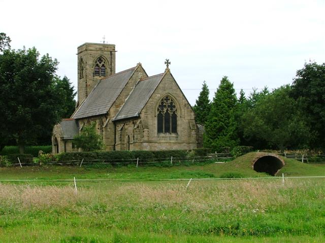
Image: © Mick Garratt Taken: 26 Jul 2005
Built in 1870 and incorporating parts of some earlier medieval materials. It has been suggested that the tunnel like structure in the field is an ice-house. Currently it's used for stabling.
Images are licensed for reuse under creativecommons.org/licenses/by-sa/2.0
Image Location
Latitude
54.344889
Longitude
-1.471263