West End passes The Elm Tree
Introduction
The photograph on this page of West End passes The Elm Tree by Stuart Logan as part of the Geograph project.
The Geograph project started in 2005 with the aim of publishing, organising and preserving representative images for every square kilometre of Great Britain, Ireland and the Isle of Man.

There are currently over 7.5m images from over 14,400 individuals and you can help contribute to the project by visiting https://www.geograph.org.uk
West End passes The Elm Tree
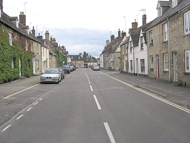
Image: © Stuart Logan Taken: 15 Jul 2012
B4022 Hailey Road becomes West End and most of its buildings are listed properties. The Elm Tree was originally constructed as a house but is now a Grade II listed pub with English Heritage Building ID: 398568. See also: http://www.britishlistedbuildings.co.uk/en-398568-the-elm-tree-public-house-21-witney
Images are licensed for reuse under creativecommons.org/licenses/by-sa/2.0
Image Location


Leaflet Map data © OpenStreetMap
Latitude
51.791291
Longitude
-1.48162