Lower Ham (1)
Introduction
The photograph on this page of Lower Ham (1) by Simon Carey as part of the Geograph project.
The Geograph project started in 2005 with the aim of publishing, organising and preserving representative images for every square kilometre of Great Britain, Ireland and the Isle of Man.

There are currently over 7.5m images from over 14,400 individuals and you can help contribute to the project by visiting https://www.geograph.org.uk
Lower Ham (1)
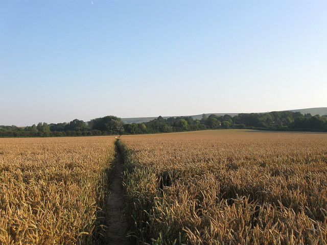
Image: © Simon Carey Taken: 26 Jul 2012
The name of the field according to Kingston's 1843 tithe map and one of the old open fields that survived in the parish until enclosure in 1834. Other than the northern tip the rest of this field has survived intact. The footpath heads south to Iford. See Image for the opposite view.
Images are licensed for reuse under creativecommons.org/licenses/by-sa/2.0
Image Location
Latitude
50.858907
Longitude
-0.007803