Upper Ham
Introduction
The photograph on this page of Upper Ham by Simon Carey as part of the Geograph project.
The Geograph project started in 2005 with the aim of publishing, organising and preserving representative images for every square kilometre of Great Britain, Ireland and the Isle of Man.

There are currently over 7.5m images from over 14,400 individuals and you can help contribute to the project by visiting https://www.geograph.org.uk
Upper Ham
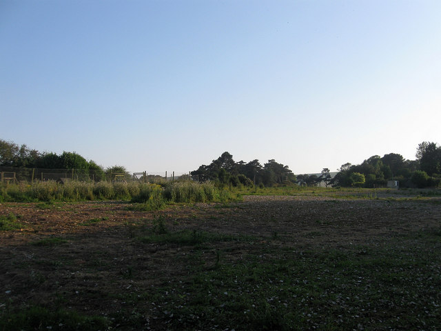
Image: © Simon Carey Taken: 26 Jul 2012
The name of the field according to Kingston's 1843 tithe map that was originally part of a much larger open field that was enclosed in 1834. The smaller field has now been subdivided into even smaller portions some of which have been built upon, the northern section now the location of Lewes Garden Centre.
Images are licensed for reuse under creativecommons.org/licenses/by-sa/2.0
Image Location
Latitude
50.85692
Longitude
-0.007319