The beginning of the path to Low Marnham
Introduction
The photograph on this page of The beginning of the path to Low Marnham by Jonathan Thacker as part of the Geograph project.
The Geograph project started in 2005 with the aim of publishing, organising and preserving representative images for every square kilometre of Great Britain, Ireland and the Isle of Man.

There are currently over 7.5m images from over 14,400 individuals and you can help contribute to the project by visiting https://www.geograph.org.uk
The beginning of the path to Low Marnham
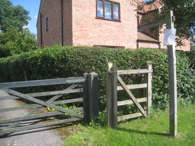
Image: © Jonathan Thacker Taken: 28 Jul 2012
From South Street, Normanton on Trent.
Images are licensed for reuse under creativecommons.org/licenses/by-sa/2.0
Image Location
Latitude
53.209838
Longitude
-0.816015