The Tower
Introduction
The photograph on this page of The Tower by Raymond Cubberley as part of the Geograph project.
The Geograph project started in 2005 with the aim of publishing, organising and preserving representative images for every square kilometre of Great Britain, Ireland and the Isle of Man.

There are currently over 7.5m images from over 14,400 individuals and you can help contribute to the project by visiting https://www.geograph.org.uk
The Tower
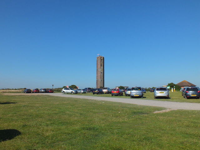
Image: © Raymond Cubberley Taken: 24 Jul 2012
The Walton on the Naze Tower is an 86 foot octagonal tower, constructed in 1720 as a navigational mark to aid shipping.
Images are licensed for reuse under creativecommons.org/licenses/by-sa/2.0
Image Location
Latitude
51.864186
Longitude
1.287572