Snednore
Introduction
The photograph on this page of Snednore by Simon Carey as part of the Geograph project.
The Geograph project started in 2005 with the aim of publishing, organising and preserving representative images for every square kilometre of Great Britain, Ireland and the Isle of Man.

There are currently over 7.5m images from over 14,400 individuals and you can help contribute to the project by visiting https://www.geograph.org.uk
Snednore
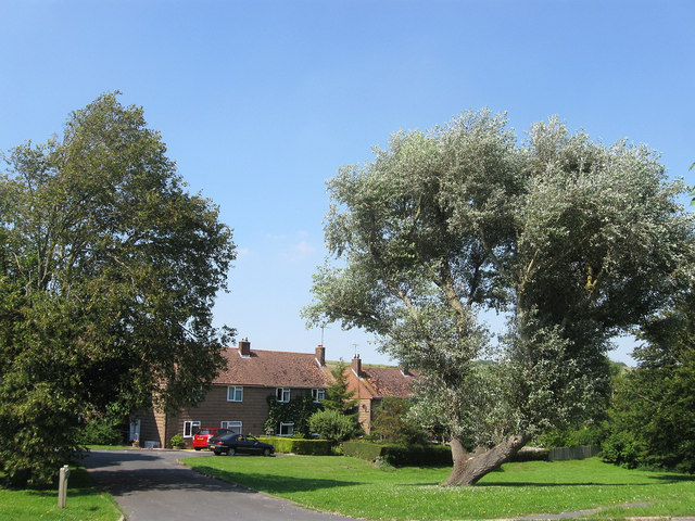
Image: © Simon Carey Taken: 26 Jul 2012
Small cul de sac off Wellgreen Lane built in the immediate aftermath of the Second World War. The unusual name derives from that of an old furlong once found in Mill Laine.
Images are licensed for reuse under creativecommons.org/licenses/by-sa/2.0
Image Location
Latitude
50.857
Longitude
-0.017262