Wild flower bed, Brewery Bridge, Stroud
Introduction
The photograph on this page of Wild flower bed, Brewery Bridge, Stroud by Roger May as part of the Geograph project.
The Geograph project started in 2005 with the aim of publishing, organising and preserving representative images for every square kilometre of Great Britain, Ireland and the Isle of Man.

There are currently over 7.5m images from over 14,400 individuals and you can help contribute to the project by visiting https://www.geograph.org.uk
Wild flower bed, Brewery Bridge, Stroud
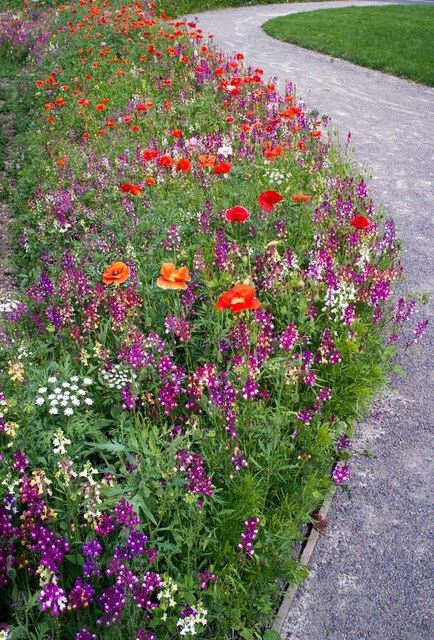
Image: © Roger May Taken: 28 Jul 2012
Planted by Stroud Parks Department to enhance the newly opened stretch of canal
Images are licensed for reuse under creativecommons.org/licenses/by-sa/2.0
Image Location


Leaflet Map data © OpenStreetMap
Latitude
51.744211
Longitude
-2.221698