Track between Hen Gill and Lords Farm
Introduction
The photograph on this page of Track between Hen Gill and Lords Farm by Chris Heaton as part of the Geograph project.
The Geograph project started in 2005 with the aim of publishing, organising and preserving representative images for every square kilometre of Great Britain, Ireland and the Isle of Man.

There are currently over 7.5m images from over 14,400 individuals and you can help contribute to the project by visiting https://www.geograph.org.uk
Track between Hen Gill and Lords Farm
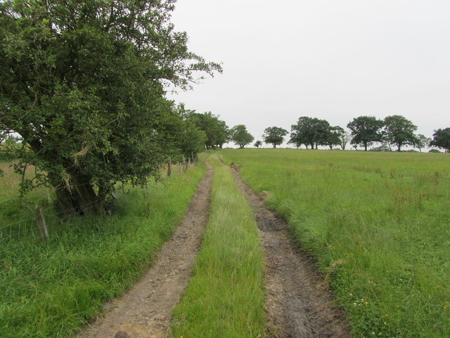
Image: © Chris Heaton Taken: 25 Jul 2012
Following a public footpath across Hyles Moor
Images are licensed for reuse under creativecommons.org/licenses/by-sa/2.0
Image Location


Leaflet Map data © OpenStreetMap
Latitude
53.97062
Longitude
-2.302567