Footbridge over the Causey Burn
Introduction
The photograph on this page of Footbridge over the Causey Burn by Robert Graham as part of the Geograph project.
The Geograph project started in 2005 with the aim of publishing, organising and preserving representative images for every square kilometre of Great Britain, Ireland and the Isle of Man.

There are currently over 7.5m images from over 14,400 individuals and you can help contribute to the project by visiting https://www.geograph.org.uk
Footbridge over the Causey Burn
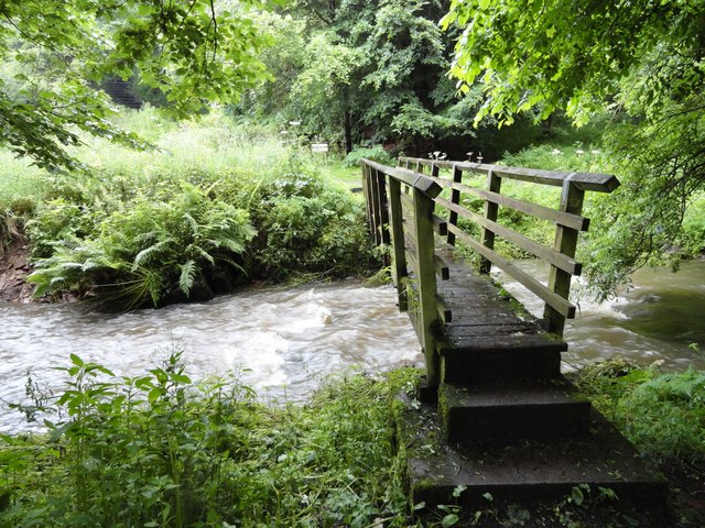
Image: © Robert Graham Taken: 11 Jul 2012
One of several footbridges over the stream in this area as the path crosses and recrosses the burn as it makes its way up to the Causey Arch. The Gorge sides are very close to the stream in parts, forcing the path from one side to the other.
Images are licensed for reuse under creativecommons.org/licenses/by-sa/2.0
Image Location


Leaflet Map data © OpenStreetMap
Latitude
54.897871
Longitude
-1.684374