Bridleway to Wigsley
Introduction
The photograph on this page of Bridleway to Wigsley by Alan Murray-Rust as part of the Geograph project.
The Geograph project started in 2005 with the aim of publishing, organising and preserving representative images for every square kilometre of Great Britain, Ireland and the Isle of Man.

There are currently over 7.5m images from over 14,400 individuals and you can help contribute to the project by visiting https://www.geograph.org.uk
Bridleway to Wigsley
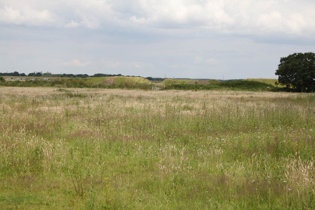
Image: © Alan Murray-Rust Taken: 15 Jul 2012
This crosses the former RAF Wigsley; it does not appear to be much used, although the gate was not padlocked (see http://www.geograph.org.uk/photo/2608475 ).
Images are licensed for reuse under creativecommons.org/licenses/by-sa/2.0
Image Location
Latitude
53.212917
Longitude
-0.739257