Footpath from Lee Bottom Road to London Road, Langfield
Introduction
The photograph on this page of Footpath from Lee Bottom Road to London Road, Langfield by Humphrey Bolton as part of the Geograph project.
The Geograph project started in 2005 with the aim of publishing, organising and preserving representative images for every square kilometre of Great Britain, Ireland and the Isle of Man.

There are currently over 7.5m images from over 14,400 individuals and you can help contribute to the project by visiting https://www.geograph.org.uk
Footpath from Lee Bottom Road to London Road, Langfield
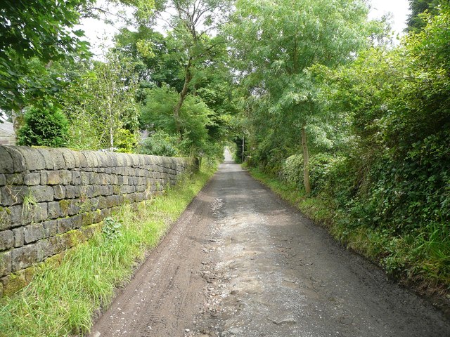
Image: © Humphrey Bolton Taken: 21 Jul 2012
This has been widened as a driveway to Lee Side Farm, Lower Greave and a row of newer houses called Fellside. It makes an easy approach to the climb up Stoodley Pike.
Images are licensed for reuse under creativecommons.org/licenses/by-sa/2.0
Image Location
Latitude
53.715373
Longitude
-2.054055