River Test at Kimbridge
Introduction
The photograph on this page of River Test at Kimbridge by Patrick Pavey as part of the Geograph project.
The Geograph project started in 2005 with the aim of publishing, organising and preserving representative images for every square kilometre of Great Britain, Ireland and the Isle of Man.

There are currently over 7.5m images from over 14,400 individuals and you can help contribute to the project by visiting https://www.geograph.org.uk
River Test at Kimbridge
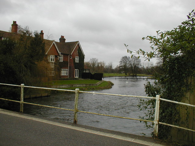
Image: © Patrick Pavey Taken: 5 Jan 2007
Kimbridge Lane crosses the Test here, giving a good view of one of the country's most famous trout fishing rivers.
Images are licensed for reuse under creativecommons.org/licenses/by-sa/2.0
Image Location


Leaflet Map data © OpenStreetMap
Latitude
51.028288
Longitude
-1.531526