Farm buildings and ripening wheat at Spoonleygate
Introduction
The photograph on this page of Farm buildings and ripening wheat at Spoonleygate by Richard Law as part of the Geograph project.
The Geograph project started in 2005 with the aim of publishing, organising and preserving representative images for every square kilometre of Great Britain, Ireland and the Isle of Man.

There are currently over 7.5m images from over 14,400 individuals and you can help contribute to the project by visiting https://www.geograph.org.uk
Farm buildings and ripening wheat at Spoonleygate
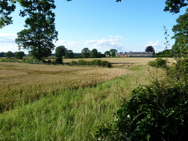
Image: © Richard Law Taken: 24 Jul 2012
After the washout of summer 2012, a few days of dry weather have brought the wheat on noticeably.
Images are licensed for reuse under creativecommons.org/licenses/by-sa/2.0
Image Location
Latitude
52.565339
Longitude
-2.29147