Allotments in Wootton by Woodstock
Introduction
The photograph on this page of Allotments in Wootton by Woodstock by Jonathan Reynolds as part of the Geograph project.
The Geograph project started in 2005 with the aim of publishing, organising and preserving representative images for every square kilometre of Great Britain, Ireland and the Isle of Man.

There are currently over 7.5m images from over 14,400 individuals and you can help contribute to the project by visiting https://www.geograph.org.uk
Allotments in Wootton by Woodstock
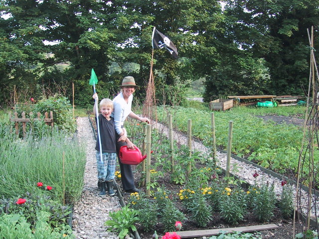
Image: © Jonathan Reynolds Taken: 26 Jun 2003
Village allotments overlooking the River Glyme valley, in continuous use for over 100 years.
Images are licensed for reuse under creativecommons.org/licenses/by-sa/2.0
Image Location


Leaflet Map data © OpenStreetMap
Latitude
51.874677
Longitude
-1.361406