The western approach to Nottingham Station
Introduction
The photograph on this page of The western approach to Nottingham Station by John Sutton as part of the Geograph project.
The Geograph project started in 2005 with the aim of publishing, organising and preserving representative images for every square kilometre of Great Britain, Ireland and the Isle of Man.

There are currently over 7.5m images from over 14,400 individuals and you can help contribute to the project by visiting https://www.geograph.org.uk
The western approach to Nottingham Station
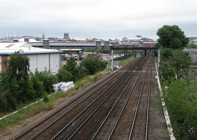
Image: © John Sutton Taken: 20 Jul 2012
In the days of steam, there were extensive goods yards to the left of the four-track main line occupying all of the land now given over to retail warehouses and the Inland Revenue buildings. The large Nottingham Midland engine shed (code 16A) was to the right - its site is now a retail park, Castle Park. For the view to the west from here, see Image
Images are licensed for reuse under creativecommons.org/licenses/by-sa/2.0
Image Location
Latitude
52.944948
Longitude
-1.157213