Path in Firth Park
Introduction
The photograph on this page of Path in Firth Park by David Lally as part of the Geograph project.
The Geograph project started in 2005 with the aim of publishing, organising and preserving representative images for every square kilometre of Great Britain, Ireland and the Isle of Man.

There are currently over 7.5m images from over 14,400 individuals and you can help contribute to the project by visiting https://www.geograph.org.uk
Path in Firth Park
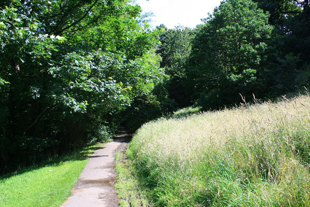
Image: © David Lally Taken: 15 Jul 2012
This path runs through the bottom of the steep valley formed by a small (as far as I'm aware) unnamed stream. the east side makes-up about a quarter of the area of Firth Park. The other side of the valley is marginally less steep and has been built on. This view and the subsequent walk up the path to Firth Park centre made me feel very old. The bank to the right of the path was just grass, with not a sapling in sight when we used to play here as children. Now it is quite mature woodland.
Images are licensed for reuse under creativecommons.org/licenses/by-sa/2.0
Image Location
Latitude
53.41404
Longitude
-1.44863