Oaks in the wheat
Introduction
The photograph on this page of Oaks in the wheat by Robin Webster as part of the Geograph project.
The Geograph project started in 2005 with the aim of publishing, organising and preserving representative images for every square kilometre of Great Britain, Ireland and the Isle of Man.

There are currently over 7.5m images from over 14,400 individuals and you can help contribute to the project by visiting https://www.geograph.org.uk
Oaks in the wheat
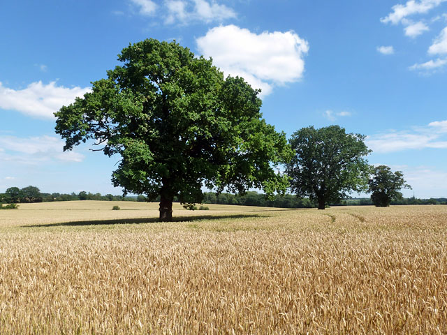
Image: © Robin Webster Taken: 22 Jul 2012
These trees seem to have been along the course of a drain or stream, which has been eliminated, possibly by diverting it round the northern margin of the enlarged field. Making one field from several here has resulted in this field of wheat having a shape like one of the more complicated jigsaw pieces, with no less than eleven roughly right-angled corners, plus one sinuous side which could be considered as containing a twelfth corner.
Images are licensed for reuse under creativecommons.org/licenses/by-sa/2.0
Image Location
Latitude
51.685272
Longitude
0.500051