Smithy Fold
Introduction
The photograph on this page of Smithy Fold by Gerald England as part of the Geograph project.
The Geograph project started in 2005 with the aim of publishing, organising and preserving representative images for every square kilometre of Great Britain, Ireland and the Isle of Man.

There are currently over 7.5m images from over 14,400 individuals and you can help contribute to the project by visiting https://www.geograph.org.uk
Smithy Fold
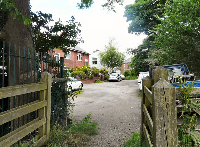
Image: © Gerald England Taken: 15 Jul 2012
From the path out of Gower Hey Woods.
Images are licensed for reuse under creativecommons.org/licenses/by-sa/2.0
Image Location
Latitude
53.44275
Longitude
-2.069966