Braeside of Lindores
Introduction
The photograph on this page of Braeside of Lindores by William Starkey as part of the Geograph project.
The Geograph project started in 2005 with the aim of publishing, organising and preserving representative images for every square kilometre of Great Britain, Ireland and the Isle of Man.

There are currently over 7.5m images from over 14,400 individuals and you can help contribute to the project by visiting https://www.geograph.org.uk
Braeside of Lindores
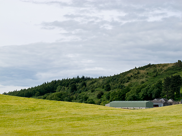
Image: © William Starkey Taken: 21 Jul 2012
A view towards the farm at Braeside of Lindores, used for both farming and equestrian sports. Lindores Hill can be seen in the background.
Images are licensed for reuse under creativecommons.org/licenses/by-sa/2.0
Image Location
Latitude
56.343641
Longitude
-3.203277