Slow down - bend ahead, Clytha Road near Raglan
Introduction
The photograph on this page of Slow down - bend ahead, Clytha Road near Raglan by Jaggery as part of the Geograph project.
The Geograph project started in 2005 with the aim of publishing, organising and preserving representative images for every square kilometre of Great Britain, Ireland and the Isle of Man.

There are currently over 7.5m images from over 14,400 individuals and you can help contribute to the project by visiting https://www.geograph.org.uk
Slow down - bend ahead, Clytha Road near Raglan
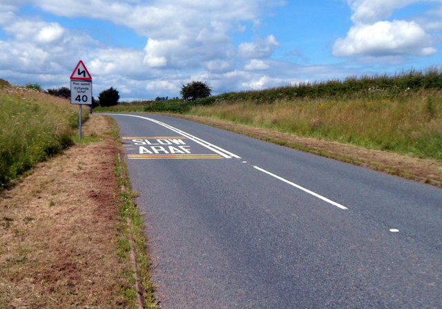
Image: © Jaggery Taken: 15 Jul 2012
This was formerly the route of the A40, which is now along a nearby dual carriageway. A 1940s map shows that there has been some minor realignments of the old A40 in this area, no doubt at the time of the construction of the dual carriageway.
Images are licensed for reuse under creativecommons.org/licenses/by-sa/2.0
Image Location
Latitude
51.771953
Longitude
-2.869515