A127 - overbridge at Laindon
Introduction
The photograph on this page of A127 - overbridge at Laindon by Robin Webster as part of the Geograph project.
The Geograph project started in 2005 with the aim of publishing, organising and preserving representative images for every square kilometre of Great Britain, Ireland and the Isle of Man.

There are currently over 7.5m images from over 14,400 individuals and you can help contribute to the project by visiting https://www.geograph.org.uk
A127 - overbridge at Laindon
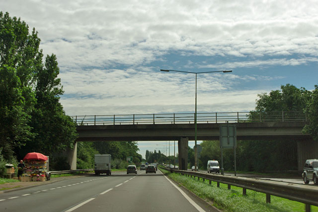
Image: © Robin Webster Taken: 22 Jul 2012
This bridge enabled the Fortune of War roundabout to be closed to crossing, right turning and U turning traffic, although it is still open as a chicane at left turn only T-junctions divorced by the central reservation.
Images are licensed for reuse under creativecommons.org/licenses/by-sa/2.0
Image Location
Latitude
51.583871
Longitude
0.429519