Upland path across Church Hill Common
Introduction
The photograph on this page of Upland path across Church Hill Common by Jeremy Bolwell as part of the Geograph project.
The Geograph project started in 2005 with the aim of publishing, organising and preserving representative images for every square kilometre of Great Britain, Ireland and the Isle of Man.

There are currently over 7.5m images from over 14,400 individuals and you can help contribute to the project by visiting https://www.geograph.org.uk
Upland path across Church Hill Common
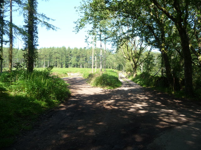
Image: © Jeremy Bolwell Taken: 22 Jul 2012
Now obviously at least partly under forestry plantation this path heads off towards Mitchel Troy.
Images are licensed for reuse under creativecommons.org/licenses/by-sa/2.0
Image Location
Latitude
51.790928
Longitude
-2.693137