Reservoir below Rydings Farm
Introduction
The photograph on this page of Reservoir below Rydings Farm by Bill Boaden as part of the Geograph project.
The Geograph project started in 2005 with the aim of publishing, organising and preserving representative images for every square kilometre of Great Britain, Ireland and the Isle of Man.

There are currently over 7.5m images from over 14,400 individuals and you can help contribute to the project by visiting https://www.geograph.org.uk
Reservoir below Rydings Farm
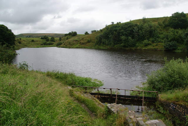
Image: © Bill Boaden Taken: 20 Jul 2012
This is now the preserve of Newhey District Angling Society.
Images are licensed for reuse under creativecommons.org/licenses/by-sa/2.0
Image Location


Leaflet Map data © OpenStreetMap
Latitude
53.642135
Longitude
-2.143959