Waverley Housing
Introduction
The photograph on this page of Waverley Housing by John Jennings as part of the Geograph project.
The Geograph project started in 2005 with the aim of publishing, organising and preserving representative images for every square kilometre of Great Britain, Ireland and the Isle of Man.

There are currently over 7.5m images from over 14,400 individuals and you can help contribute to the project by visiting https://www.geograph.org.uk
Waverley Housing
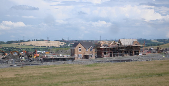
Image: © John Jennings Taken: 18 Jul 2012
These houses are the first to be built on the Waverley site. This site was the former home of Orgreave Colliery and coking ovens.
Images are licensed for reuse under creativecommons.org/licenses/by-sa/2.0
Image Location
Latitude
53.384051
Longitude
-1.373335