Old Abergavenny Road passes churchyard and pub, Mamhilad
Introduction
The photograph on this page of Old Abergavenny Road passes churchyard and pub, Mamhilad by Jaggery as part of the Geograph project.
The Geograph project started in 2005 with the aim of publishing, organising and preserving representative images for every square kilometre of Great Britain, Ireland and the Isle of Man.

There are currently over 7.5m images from over 14,400 individuals and you can help contribute to the project by visiting https://www.geograph.org.uk
Old Abergavenny Road passes churchyard and pub, Mamhilad
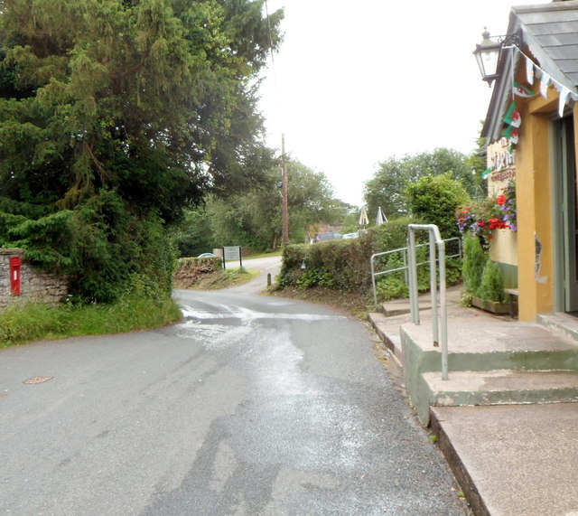
Image: © Jaggery Taken: 20 Jul 2012
The small red postbox http://www.geograph.org.uk/photo/3046353 on the left is set into the churchyard perimeter wall. The Star Inn http://www.geograph.org.uk/photo/3046307 is on the right.
Images are licensed for reuse under creativecommons.org/licenses/by-sa/2.0
Image Location
Latitude
51.724095
Longitude
-3.007582