The A370 at Purn
Introduction
The photograph on this page of The A370 at Purn by Ruth Riddle as part of the Geograph project.
The Geograph project started in 2005 with the aim of publishing, organising and preserving representative images for every square kilometre of Great Britain, Ireland and the Isle of Man.

There are currently over 7.5m images from over 14,400 individuals and you can help contribute to the project by visiting https://www.geograph.org.uk
The A370 at Purn
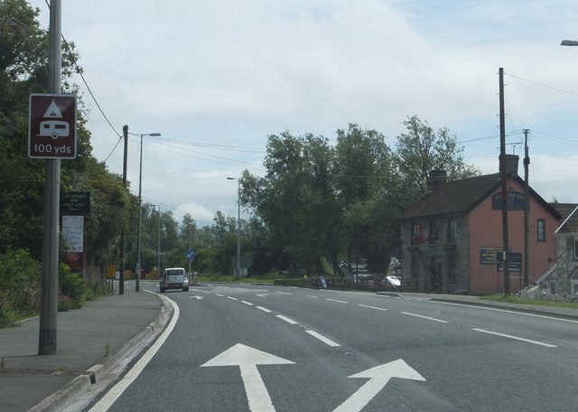
Image: © Ruth Riddle Taken: 17 Jul 2012
Looking south-east as the road passes The Anchor Inn.
Images are licensed for reuse under creativecommons.org/licenses/by-sa/2.0
Image Location
Latitude
51.308626
Longitude
-2.960005