HM Coastguard and Maryport Inshore Rescue buildings
Introduction
The photograph on this page of HM Coastguard and Maryport Inshore Rescue buildings by Graham Robson as part of the Geograph project.
The Geograph project started in 2005 with the aim of publishing, organising and preserving representative images for every square kilometre of Great Britain, Ireland and the Isle of Man.

There are currently over 7.5m images from over 14,400 individuals and you can help contribute to the project by visiting https://www.geograph.org.uk
HM Coastguard and Maryport Inshore Rescue buildings
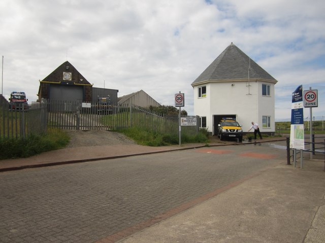
Image: © Graham Robson Taken: 14 Jul 2012
The building on the left is the base of Maryport Inshore Rescue. They are an independent rescue organisation and not part of the RNLI. The building on the right is the Maryport base of HM Coastguard.
Images are licensed for reuse under creativecommons.org/licenses/by-sa/2.0
Image Location
Latitude
54.715316
Longitude
-3.505088