Mansfield, Notts (Maun Valley)
Introduction
The photograph on this page of Mansfield, Notts (Maun Valley) by David Hallam-Jones as part of the Geograph project.
The Geograph project started in 2005 with the aim of publishing, organising and preserving representative images for every square kilometre of Great Britain, Ireland and the Isle of Man.

There are currently over 7.5m images from over 14,400 individuals and you can help contribute to the project by visiting https://www.geograph.org.uk
Mansfield, Notts (Maun Valley)
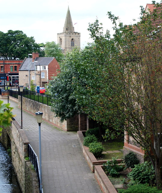
Image: © David Hallam-Jones Taken: 15 Jul 2012
Hesitating on the steep flight of steps that carry the Maun Valley Trail path northwards up onto a road called Rock Court, I took this photograph as I looked back towards the Bridge Inn and the Parish Church area.
Images are licensed for reuse under creativecommons.org/licenses/by-sa/2.0
Image Location
Latitude
53.144755
Longitude
-1.19233