Langley Buildings
Introduction
The photograph on this page of Langley Buildings by Gerald England as part of the Geograph project.
The Geograph project started in 2005 with the aim of publishing, organising and preserving representative images for every square kilometre of Great Britain, Ireland and the Isle of Man.

There are currently over 7.5m images from over 14,400 individuals and you can help contribute to the project by visiting https://www.geograph.org.uk
Langley Buildings
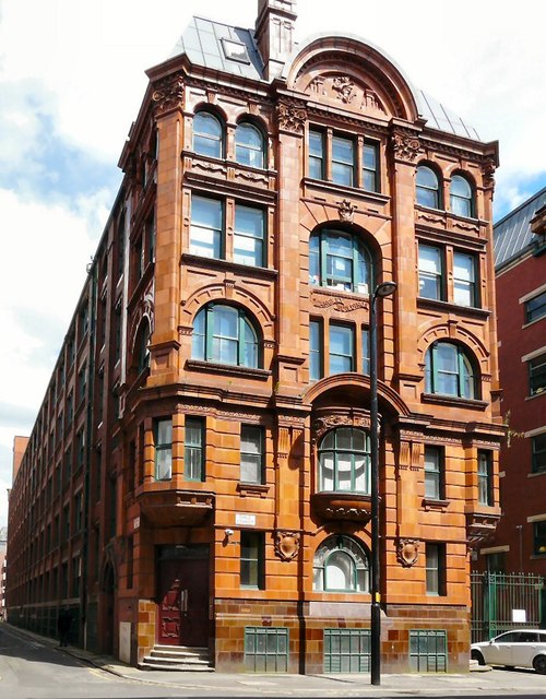
Image: © Gerald England Taken: 12 Jul 2012
Langley Buildings, 1909 by R. Argile. Grade II listed. Originally a warehouse, now an apartment block occupying all the land bounded by Dale Street Image, China Street, Hilton Street and Back China Lane. Image
Images are licensed for reuse under creativecommons.org/licenses/by-sa/2.0
Image Location
Latitude
53.480566
Longitude
-2.232464