Webbington Road on the southern side of Crook Peak
Introduction
The photograph on this page of Webbington Road on the southern side of Crook Peak by Ruth Riddle as part of the Geograph project.
The Geograph project started in 2005 with the aim of publishing, organising and preserving representative images for every square kilometre of Great Britain, Ireland and the Isle of Man.

There are currently over 7.5m images from over 14,400 individuals and you can help contribute to the project by visiting https://www.geograph.org.uk
Webbington Road on the southern side of Crook Peak
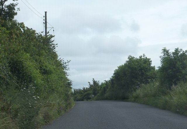
Image: © Ruth Riddle Taken: 17 Jul 2012
In this view looking eastwards, the summit of Crook Peak is out of shot to the left, lying about 500 metres to the north-east.
Images are licensed for reuse under creativecommons.org/licenses/by-sa/2.0
Image Location
Latitude
51.294211
Longitude
-2.883548