The Charthouse to let, Llanvihangel Gobion
Introduction
The photograph on this page of The Charthouse to let, Llanvihangel Gobion by Jaggery as part of the Geograph project.
The Geograph project started in 2005 with the aim of publishing, organising and preserving representative images for every square kilometre of Great Britain, Ireland and the Isle of Man.

There are currently over 7.5m images from over 14,400 individuals and you can help contribute to the project by visiting https://www.geograph.org.uk
The Charthouse to let, Llanvihangel Gobion
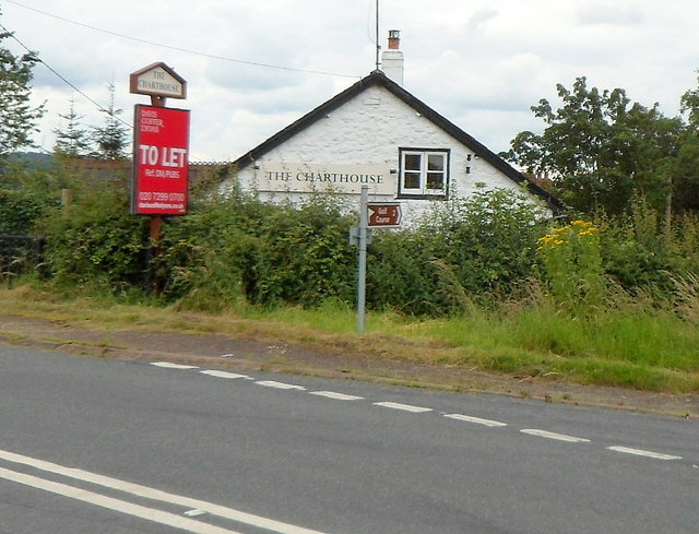
Image: © Jaggery Taken: 15 Jul 2012
Located on the corner of the Abergavenny-Raglan road, at the northern edge of Llanvihangel Gobion. There is an estate agents' To Let board outside. This was formerly the location of The Herbert Arms, which one source describes as a "spit and sawdust" pub. The Charthouse is/was a bar and bistro. A small brown sign showing Golf Course 2 (miles) points to the right.
Images are licensed for reuse under creativecommons.org/licenses/by-sa/2.0
Image Location
Latitude
51.781236
Longitude
-2.947972