Corner of Llangattock Park near Penpergwm
Introduction
The photograph on this page of Corner of Llangattock Park near Penpergwm by Jaggery as part of the Geograph project.
The Geograph project started in 2005 with the aim of publishing, organising and preserving representative images for every square kilometre of Great Britain, Ireland and the Isle of Man.

There are currently over 7.5m images from over 14,400 individuals and you can help contribute to the project by visiting https://www.geograph.org.uk
Corner of Llangattock Park near Penpergwm
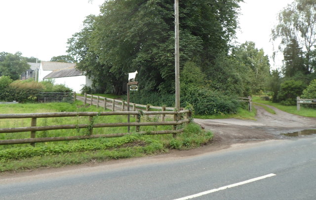
Image: © Jaggery Taken: 15 Jul 2012
Viewed across Old Raglan Road (B4598). The entrance track http://www.geograph.org.uk/photo/3044522 to Llangattock House is on the right.
Images are licensed for reuse under creativecommons.org/licenses/by-sa/2.0
Image Location
Latitude
51.785614
Longitude
-2.962561