Farm buildings at Woolston
Introduction
The photograph on this page of Farm buildings at Woolston by Richard Law as part of the Geograph project.
The Geograph project started in 2005 with the aim of publishing, organising and preserving representative images for every square kilometre of Great Britain, Ireland and the Isle of Man.

There are currently over 7.5m images from over 14,400 individuals and you can help contribute to the project by visiting https://www.geograph.org.uk
Farm buildings at Woolston
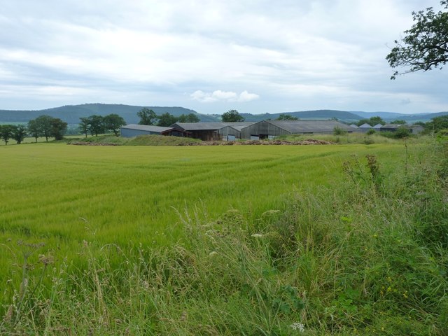
Image: © Richard Law Taken: 14 Jul 2012
Unnamed on the maps, these large, low barns lie just NNE of Woolston village.
Images are licensed for reuse under creativecommons.org/licenses/by-sa/2.0
Image Location
Latitude
52.481756
Longitude
-2.847075