The Bedlinog Inn
Introduction
The photograph on this page of The Bedlinog Inn by Robin Drayton as part of the Geograph project.
The Geograph project started in 2005 with the aim of publishing, organising and preserving representative images for every square kilometre of Great Britain, Ireland and the Isle of Man.

There are currently over 7.5m images from over 14,400 individuals and you can help contribute to the project by visiting https://www.geograph.org.uk
The Bedlinog Inn
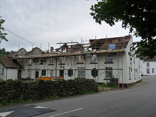
Image: © Robin Drayton Taken: 12 Jul 2012
To state the obvious, it is undergoing extensive renovation. See http://www.geograph.org.uk/photo/1966718 for a picture two years earlier. A small plaque by Merthyr Tydfil Heritage Trust states: 'The inn is one of the buildings that made up the small hill farming community called Cwmfelin. Alongside is Salem Chapel and the traditional village square where the local market was held'.
Images are licensed for reuse under creativecommons.org/licenses/by-sa/2.0
Image Location
Latitude
51.699155
Longitude
-3.311477