Footpath from Harbledown to Rough Common
Introduction
The photograph on this page of Footpath from Harbledown to Rough Common by Bill Boaden as part of the Geograph project.
The Geograph project started in 2005 with the aim of publishing, organising and preserving representative images for every square kilometre of Great Britain, Ireland and the Isle of Man.

There are currently over 7.5m images from over 14,400 individuals and you can help contribute to the project by visiting https://www.geograph.org.uk
Footpath from Harbledown to Rough Common
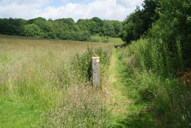
Image: © Bill Boaden Taken: 25 Jun 2012
It follows the valley bottom for a while before striking right up the valley side.
Images are licensed for reuse under creativecommons.org/licenses/by-sa/2.0
Image Location
Latitude
51.285096
Longitude
1.04191