Pipe on the B6053
Introduction
The photograph on this page of Pipe on the B6053 by John Poyser as part of the Geograph project.
The Geograph project started in 2005 with the aim of publishing, organising and preserving representative images for every square kilometre of Great Britain, Ireland and the Isle of Man.

There are currently over 7.5m images from over 14,400 individuals and you can help contribute to the project by visiting https://www.geograph.org.uk
Pipe on the B6053
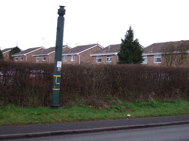
Image: © John Poyser Taken: 3 Jan 2007
This is one of three pipes, the others are nearby, they all have Coal Authority labels on, but not sure of their purpose. It can't be dangerous as there isn't a barrier in front. It has been suggested they vent methane from old mine workings.
Images are licensed for reuse under creativecommons.org/licenses/by-sa/2.0
Image Location
Latitude
53.319551
Longitude
-1.347258