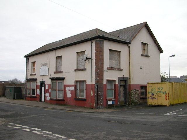
Upper Splott Farm
Introduction
The photograph on this page of Upper Splott Farm by Chris Moorman as part of the Geograph project.
The Geograph project started in 2005 with the aim of publishing, organising and preserving representative images for every square kilometre of Great Britain, Ireland and the Isle of Man.
There are currently over 7.5m images from over 14,400 individuals and you can help contribute to the project by visiting https://www.geograph.org.uk

Image: © Chris Moorman Taken: 26 Dec 2007
15th – 19th Century. Splott is a parish district of Roath, in the city of Cardiff, Wales, by the Severn shore between the mouths of the Taff and Rhymny rivers. Fanciful suggestions for the origin of the name include a truncation of "God's Plot", as the land belonged to the Bishop of Llandaff in medieval times. The name derives from "splat," from the Welsh “ysblad”, meaning a flat land. It was divided into two farms, Upper Splot and Lower Splot; the buildings still stand. The Upper Splot is situated Southeast of Longcross. In the 1860’s, this farmhouse stood alone in the countryside, save for the barn opposite. The house eventually became the Great Eastern Hotel, and the Metal Street School replaced the barn. To the east of Adamsdown and Portmanmoor Lower Splot was nearer to the Severn estuary. Late 19th century land transformation of the two farms Upper and Lower Splot, grew into areas of vast ore smelting and steelwork plants. Rows of tightly knit terraced houses were homes of workers in the steel plants, docks, local schools, shops, trades and professions.

