Tindale Crescent Hospital Site
Introduction
The photograph on this page of Tindale Crescent Hospital Site by RedCitrus as part of the Geograph project.
The Geograph project started in 2005 with the aim of publishing, organising and preserving representative images for every square kilometre of Great Britain, Ireland and the Isle of Man.

There are currently over 7.5m images from over 14,400 individuals and you can help contribute to the project by visiting https://www.geograph.org.uk
Tindale Crescent Hospital Site
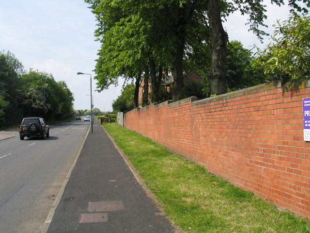
Image: © RedCitrus Taken: 6 Jun 2006
The wall shown in the picture forms the boundary to the former Tindale Crescent Hospital (now demolished) on the western outskirts of Bishop Auckland. Originally a Victorian isolation hospital, the building was in use until 2002 and has now been handed over to the government's development agency English Partnerships for redevelopment.
Images are licensed for reuse under creativecommons.org/licenses/by-sa/2.0
Image Location


Leaflet Map data © OpenStreetMap
Latitude
54.642767
Longitude
-1.693789